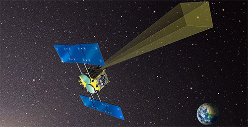
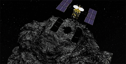
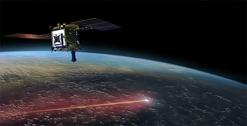
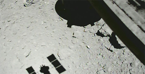
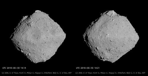
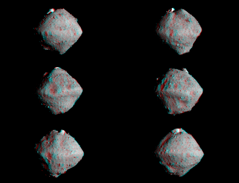
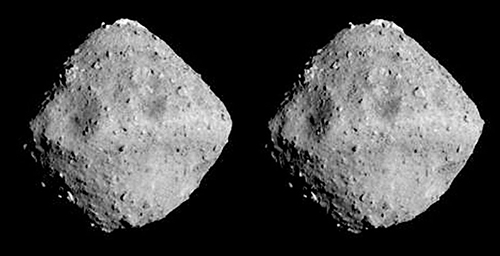
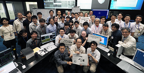
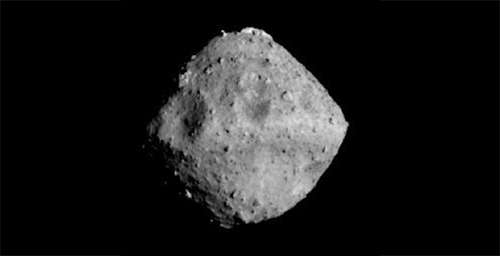
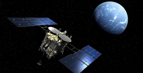
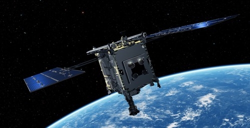
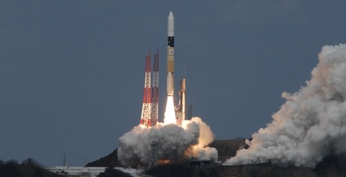
Hayabusa2 arrived at asteroid Ryugu on June 27. On July 20 - 21, the spacecraft descended to an altitude of about 6 km for BOX-C operations. On August 1, we descended again in a Medium Altitude Operation that took Hayabusa2 to a 5 km altitude. Then from August 6, we performed the third descent operation to measure the gravity of Ryugu.
In the gravity measurement operation, we allow the spacecraft's motion to be determined by the attraction of Ryugu's gravity without controlling the trajectory and attitude of the spacecraft ("free-fall" and "free-rise"). By monitoring the exact movement of the Hayabusa2, we can see how strong the gravitational attraction is from Ryugu.
The spacecraft began the descent from the home position (at a 20km altitude from Ryugu) on August 6, before 11:00 JST. At about 20:30 JST on the same day, the altitude had dropped to 6000 m. From there, we began our free-fall. Hayabusa2 approached a minimum altitude of 851 m on August 7 at about 08:10 JST. From there, the thrusters were fired and the spacecraft began to rise.
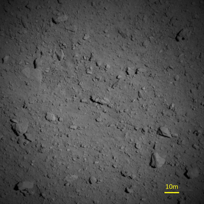
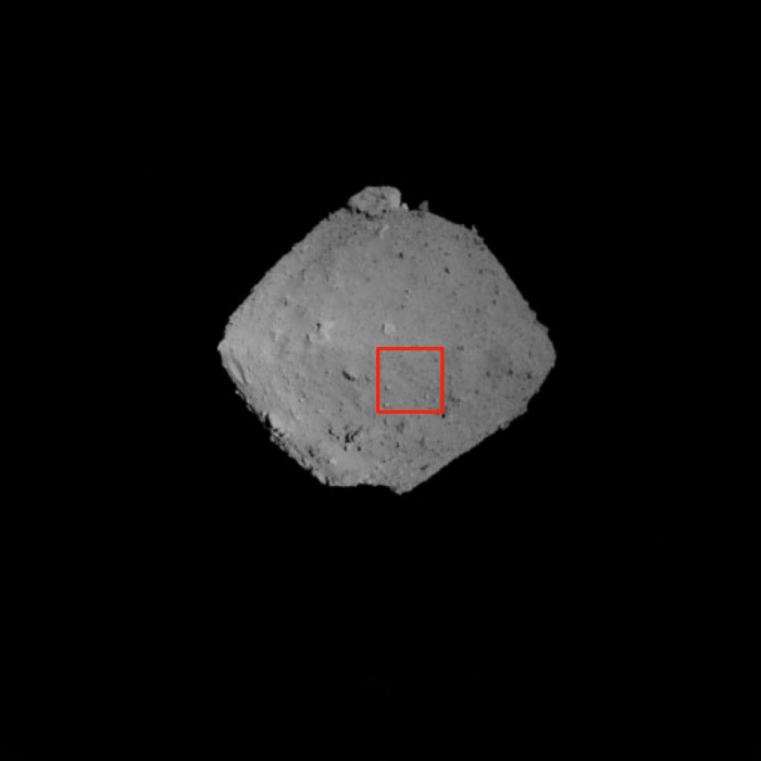
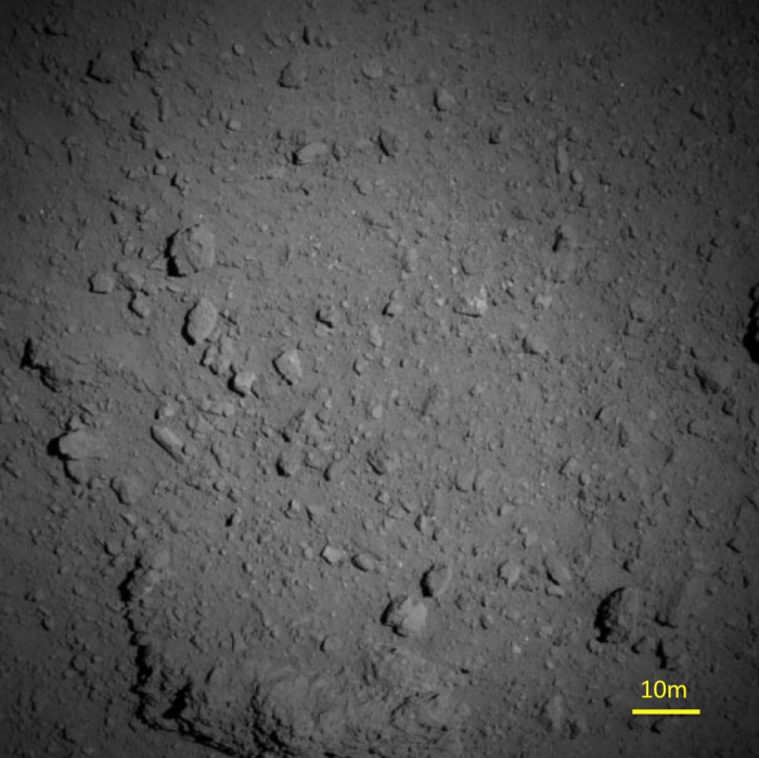
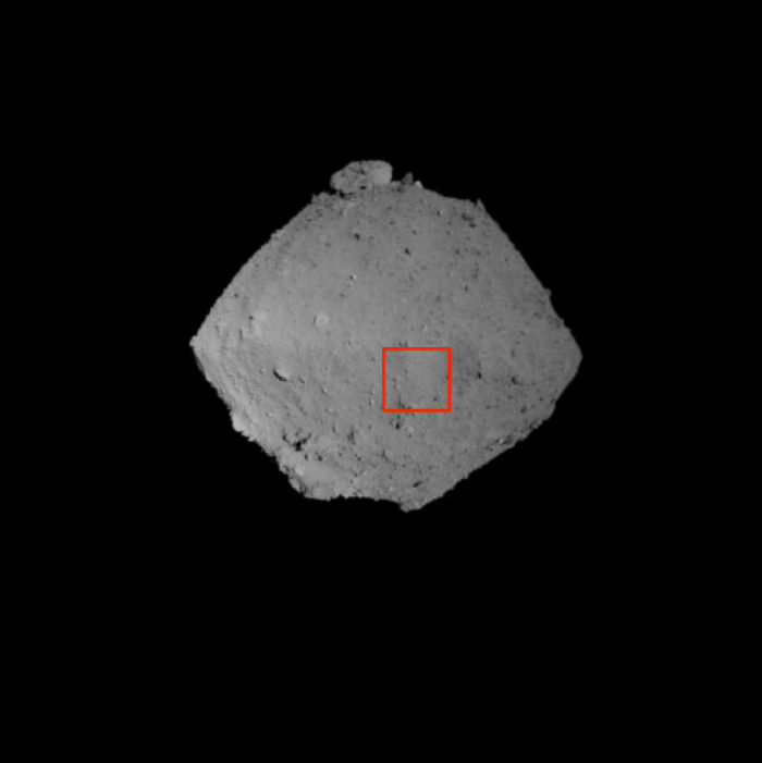
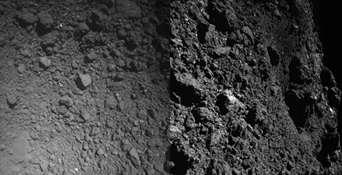
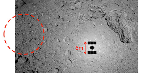
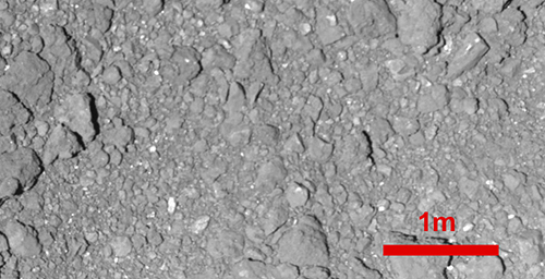
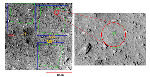
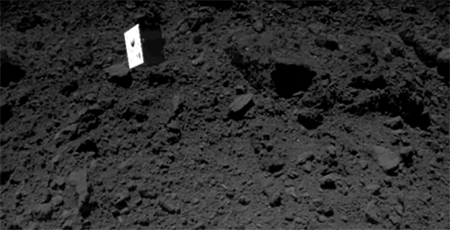
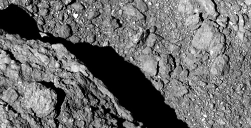
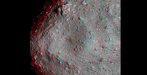
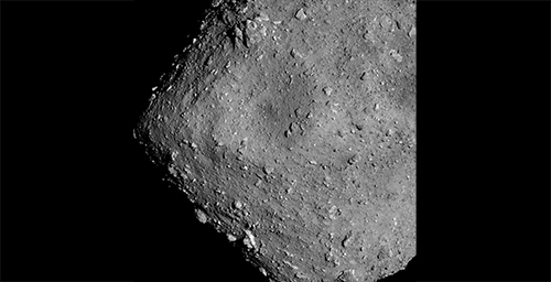
Figures 1 and 2 show the images taken with the Optical Navigation Camera - Telescopic (ONC-T) just before reaching the minimum altitude.
Figure 1: Surface of Ryugu photographed with the Optical Navigation Camera - Telescopic (ONC-T) from a height of about 1250 m. The image was captured on August 7, 2018 at around 07:37 JST. Images of the entirety of Ryugu were taken at nearly the same time by the Optical Navigation Camera - Wide angle (ONC-W1). The red frame corresponds to the range in the top picture taken by the ONC-T.
Image credit ※:JAXA, University Tokyo, Koichi University, Rikkyo University, Nagoya University, Chiba Institute of Technology, Meiji University, University of Aizu, AIST.
[Enlargement] Correction: Position of the red square has been corrected. (Aug. 8, 2018)
Figure 2: Surface of Ryugu photographed with the Optical Navigation Camera - Telescopic (ONC-T) from an altitude of about 1000 m. The image was captured on August 7, 2018 at about 07:57 JST. Images were taken at nearly the same time by the Optical Navigation Camera - Wide angle (ONC-W1). The red frame corresponds to the range in the top picture taken by the ONC-T.
Image credit ※:JAXA, University Tokyo, Koichi University, Rikkyo University, Nagoya University, Chiba Institute of Technology, Meiji University, University of Aizu, AIST.
As Hayabusa2 began to rise, orbit and attitude control were not be performed until the spacecraft reached an altitude of about 5000 m. The data of the movement of Hayabusa2 during this time will also be used to estimate the gravity of Ryugu.
Comment: Here the altitude means the distance from the surface of Ryugu to Hayabusa2.
※ Please use the displayed credit when reproducing these images. In the case where an abbreviated form is necessary, please write "JAXA, University of Aizu & collaborators".

