


TOP > Topics > 2007 > Public release of the Hayabusa data archives
![]()
Public release of the Hayabusa data archives
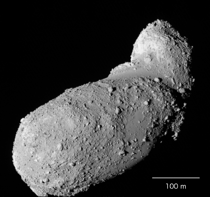
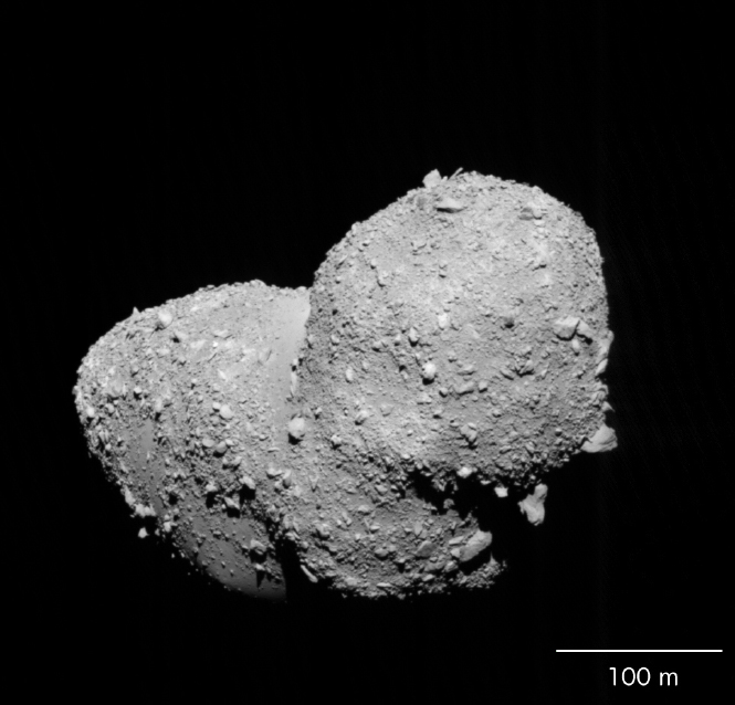
The Hayabusa spacecraft, which was launched in May 2003, arrived at Asteroid Itokawa in September 2005, and it made observations of Itokawa and tried touch down in about three months.
Hayabusa has four scientific instruments, that is Multi-Spectral Telescopic Imager (AMICA), Laser Altimeter (LIDAR), Near-Infrared Spectrometer (NIRS), and X-ray Fluorescence Spectrometer (XRS). The data obtained by these instruments were firstly analyzed by Hayabusa Science Team and some of the results have been published as scientific papers. At the same time, the science team was preparing to open them to the public and this work has almost been done. Therefore the science team release the data archives to public from April 24, 2007. All the scientific data that Hayabusa obtained are open to the public.
The Hayabusa data archives can be accessed from the following web site:
- open new windowHayabusa Project Science Data Archive
The data in the archives are mainly for scientific use. The web site is written in English for the access of researchers in all over the world. Following data can be obtained:
| AMICA | More than 1600 images taken by using wide-band filters of visual, near-ultraviolet, and near-infrared. The image of whole Itokawa and close-up view of the surface of Itokawa as well as the earth and the moon at the earth swinby. |
|---|---|
| NIRS | About 120,000 spectral data in the near infrared. Mainly the spectra of the reflected sun light from the surface of Itokawa, but also the spectra of the earth, the moon, Mars, Jupiter, and Saturn. |
| LIDAR | The data of distance from Hayabusa to the surface of Itokawa obtained by using LASER light. About 1.7 million points data are available. |
| XRS | About 15,000 spectral data in X-ray. The fluorescence X-ray emitted from the surface of Itokawa by the solar X-ray. |
| SPICE | The position and attitude data of Hayabusa spacecraft. |
| Shape Model | Very precise shape model of Itokawa created by using the data obtained by Hayabusa. |
The detailed things when the data is used are written in the Web site. We hope that the Hayabusa data archives are used for various kinds of research works.
Notice:
- All the level-1 data, which are close to the raw data, are opened to the public.
- For some instruments, the level-2 data, calibrated and/or included additional information, are also available. We will add the level-2 data when they are ready.
- The precise shape model, which is not level-1 and level-2 data, is released.
- The detailed information related to these data will be uploaded when it is ready.
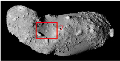
Examples of images of AMICA in the Hayabusa data archives
| No. | Images | Coments |
|---|---|---|
| 1 |
|
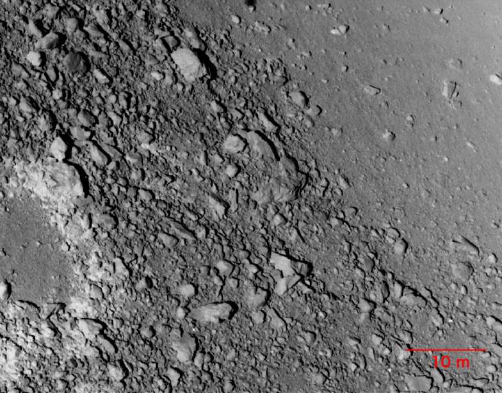
Time (UTC): Oct. 18, 2005, 16:23 Distance : 5.9 km The sticking rock in the lower middle is called "Pencil Boulder." Its shadow also can be seen clearly. |
| 2 |
|
Time (UTC): Oct. 19, 2005, 12:22 Distance : 4.7 km The smooth surface in the center is called "Muses-sea" (IAU official name is MUSES-C Regio). |
| 3 |
|
Time (UTC): Oct. 23, 2005, 12:16 Distance : 4.9 km The smoothed area in the center is called "Uchinoura" (IAU official name is Uchinoura Regio). |
| 4 |
|
Time (UTC): Oct. 23, 2005, 16:17 Distance : 4.7 km The gray rock at the top center is called "Black Boulder." |
| 5 |
|
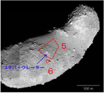
Time (UTC): Nov. 9, 2005, 05:00 Distance : 0.65 km In the left side, "Komaba crater" is seen. The smooth region upper right is "Muses-sea" (IAU official name is MUSES-C regio). |
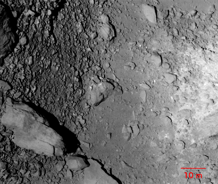
| 6 |
|
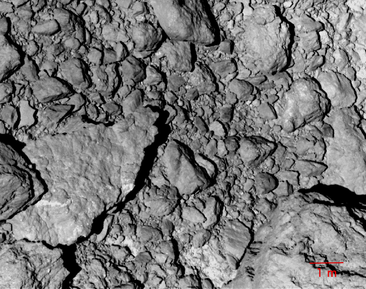
Time (UTC): Distance : 0.11 km The close-up image of rocks near "Komaba crater." |
| 7 |
|
Time (UTC): Nov. 19, 2005, 12:14 Distance : 1.0 km The sticking rock in the lower left is "Pencil Boulder." |
  |
||
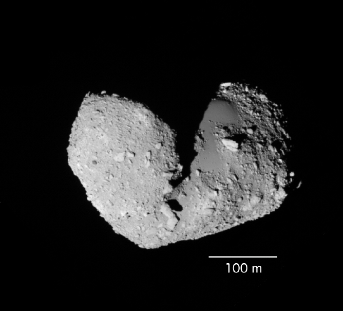
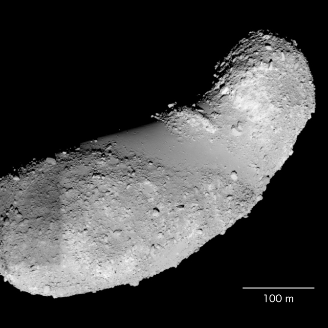
Notice: The images shown here are applied some image processing methods in order to be seen clearly. Such information like scales and positions on the surface is not included in the original image data.
April 24, 2007