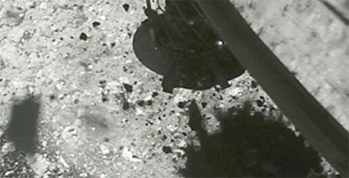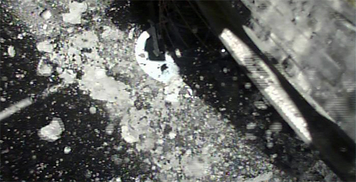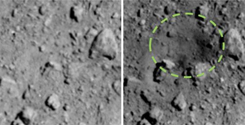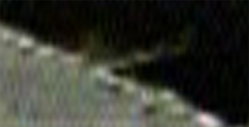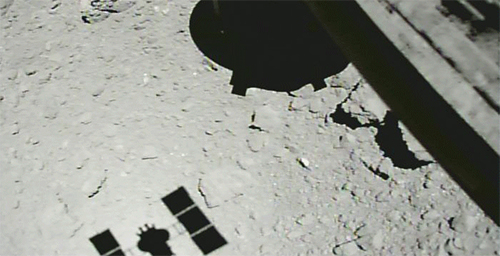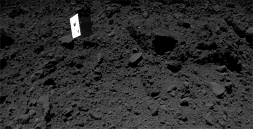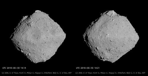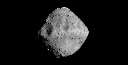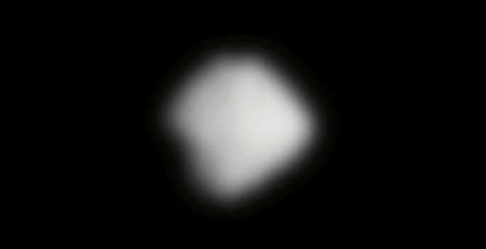
During the second touchdown rehearsal (TD1-R1-A), we captured a sequential set of images as the spacecraft reached the point of lowest altitude and then began to rise (Figure 1). The spacecraft reached the lowest altitude of 22.3m above the surface of Ryugu on October 15, 2018 at 22:44 JST.
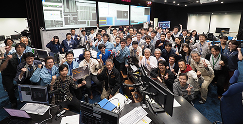
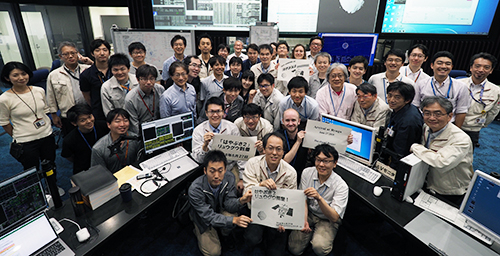
For more information, visit: Hayabusa2 project website.

[mp4, 3.5MB] [Animated GIF, 38MB]
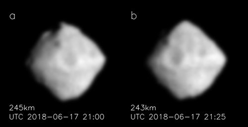
Figure 1: Sequential images of Ryugu captured by the Optical Navigation Camera - Wide angle (ONC-W1). The images were taken on October 15, 2018 between 22:45 ~ 22:53 JST. The altitude of the spacecraft when the first image was taken is about 240m, the lowest altitude image is at about 47m at 22:45 JST and the altitude in the final image is about 370m.
(Image credit ※: JAXA, University of Tokyo, Kochi University, Rikkyo University, Nagoya University, Chiba Institute of Technology, Meiji University, University of Aizu, AIST.)
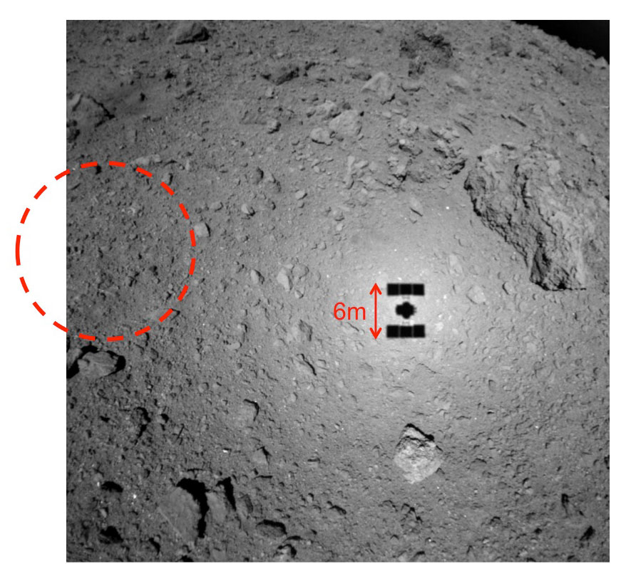
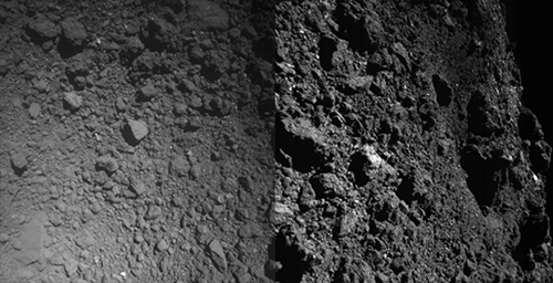
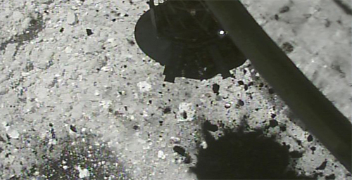
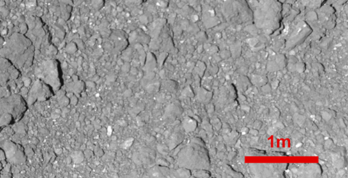
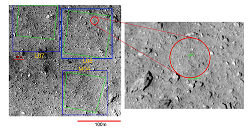
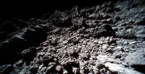
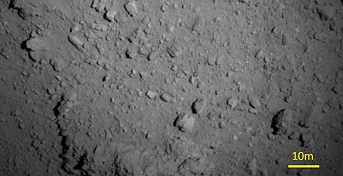
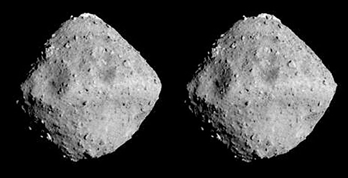
Figure 2: Image of the surface of Ryugu captured with the ONC-W1 at an altitude of about 47m. The image was taken on October 15, 2018 at 22:45 JST. The red circle indicates the candidate point for touchdown, L08-B.
(Image credit ※: JAXA, University of Tokyo, Kochi University, Rikkyo University, Nagoya University, Chiba Institute of Technology, Meiji University, University of Aizu, AIST.)
※: Please use the displayed credit when reproducing these images. In the case where an abbreviated form is necessary, please write "JAXA, University of Tokyo & collaborators".